Ecology & Biodiversity
Established habitats, protected species and a predominantly dark rural landscape.
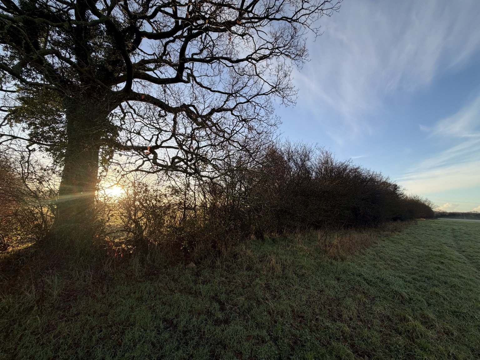
Woodlands Golf Course and the surrounding fields of Gaunt’s Earthcott form a large connected area of grassland, mature trees, hedgerows, ponds, ditches and watercourses. Together, these provide established habitats and sanctuary for abundant wildlife.
This rural Green Belt landscape is anything but “Grey Belt”.
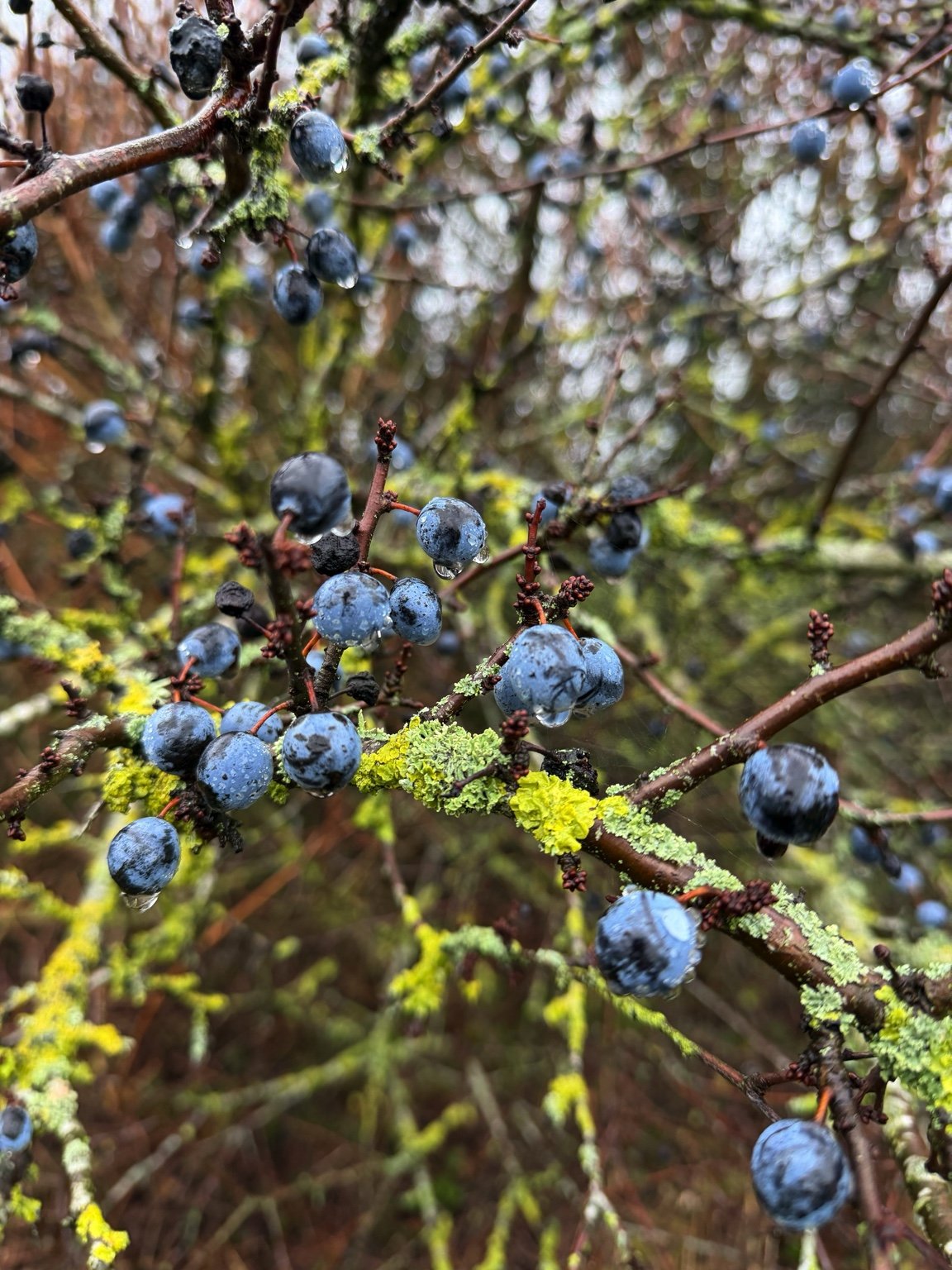
Protected species and local wildlife
The applicant’s ecological surveys identify protected and notable species, including bats, badgers, great crested newts and breeding birds.
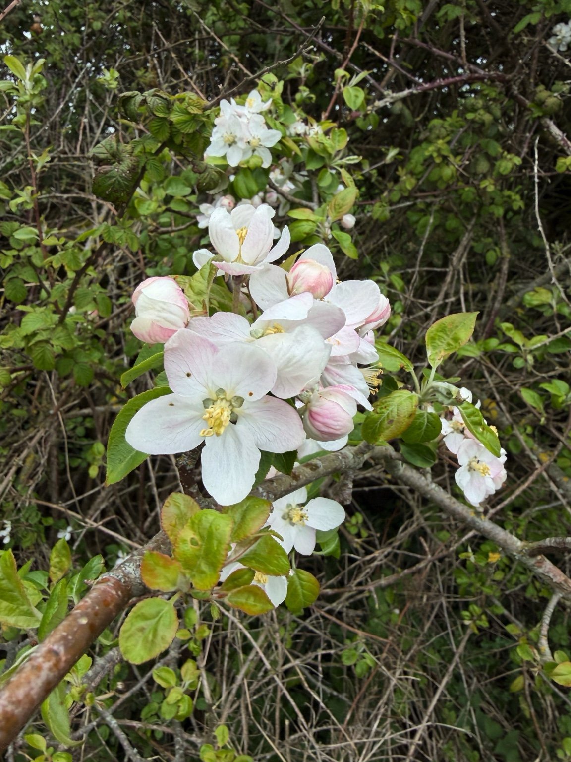
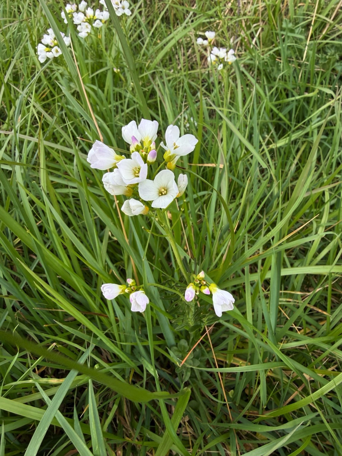
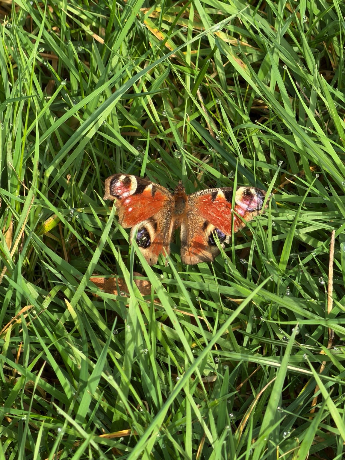
Residents regularly see deer, brown hares — including their distinctive springtime boxing — rabbits, hedgehogs, newts, birds of prey and many other species. Otters and wild boar have also been seen locally.
The ecology of the area depends on the landscape as a whole: its grassland, mature trees, hedgerows, ponds and watercourses, and its relative darkness and tranquillity.
From rural habitat to urban development
The proposal would replace much of this environment with 1,800 homes, roads and associated infrastructure.
Construction over 15–20 years would bring prolonged noise, earthworks, construction traffic, lighting and disturbance.
Once occupied, the development would permanently introduce more people, traffic, artificial light and domestic pets. Even if individual trees, hedgerows or ponds are retained, urbanisation can reduce their value to wildlife through habitat fragmentation, disturbance, road traffic, artificial light and increased predation.
This is especially important for bats and other nocturnal wildlife. Street lighting, illuminated homes and vehicle headlights would transform a predominantly dark rural environment.
Extent of the “Garden Community”
Woodlands is currently a golf course within the Green Belt. Except for buildings, roads and the car park, most of the site is recreational green space, maintained throughout the day and effectively functioning as a large landscaped open area.
The proposed housing development would replace much of this open landscape. The masterplan shows substantial areas coloured green, but those spaces would be multifunctional: supporting recreation and biodiversity while also accommodating Sustainable Drainage Systems (SuDS), attenuation basins, ponds, swales, drainage corridors, flood management, landscaping and walking and cycling routes.
A drainage basin may appear green on a masterplan but is part of the site’s drainage infrastructure. Similarly, land used for SuDS, biodiversity mitigation and recreation is not the same as green space dedicated solely to recreation or wildlife.
The amount of genuinely usable recreational green space or dedicated habitat would therefore be less than the total area presented as green space on the masterplan — and significantly less than the extensive green landscape currently at Woodlands.
The question is not simply how much of the masterplan is coloured green, but how much genuinely usable recreational green space and dedicated wildlife habitat would remain.
Relevant planning policy
National Planning Policy Framework — August 2026 — N2: Improving the Natural Environment
Requires development to consider biodiversity, habitats, ecological networks, landscape character
and natural features; minimise adverse effects; and conserve or enhance the natural environment
where possible.
South Gloucestershire Core Strategy — CS2: Green Infrastructure
Protects and seeks to enhance connected green infrastructure.
South Gloucestershire Core Strategy — CS9: Managing the Environment and Heritage
Requires conservation and enhancement of the natural environment and biodiversity.
South Gloucestershire Policies, Sites and Places Plan — PSP19: Wider Biodiversity
Protects habitats, species and ecological connections and applies the avoid–mitigate–compensate hierarchy.
Questions for the Council
- In accordance with NPPF Policy N2, Core Strategy Policies CS2 and CS9 and PSP19, has the applicant demonstrated that protected species and their established habitats will be adequately protected during 15–20 years of construction and after occupation?
- Has the ecological impact of changing a predominantly dark and tranquil rural landscape into an illuminated urban environment been adequately assessed and mitigated, particularly for bats and other nocturnal wildlife?
- How has the Council satisfied itself that the existing habitats and abundance of wildlife can be conserved and enhanced, as required by its own policies, when the character and use of this landscape would be fundamentally changed?