Landscape & Visual Impact
Green Belt, building height, density and permanent landscape change.
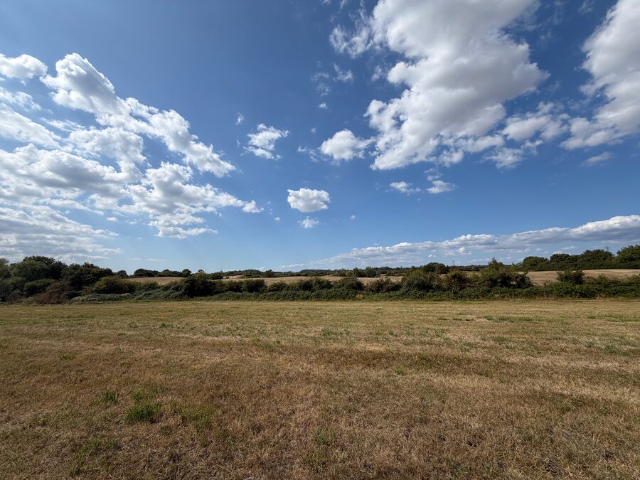
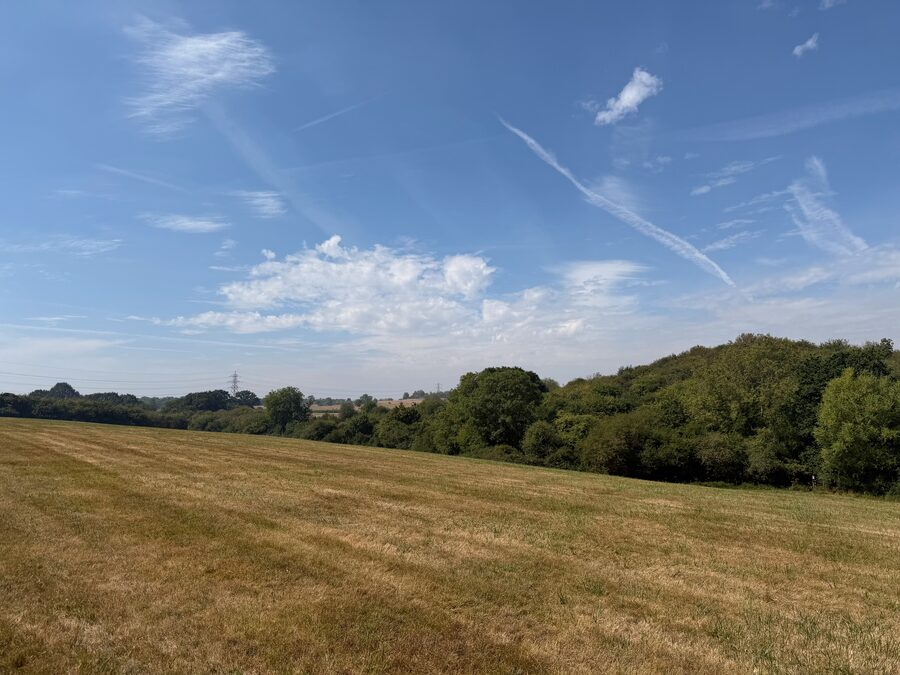
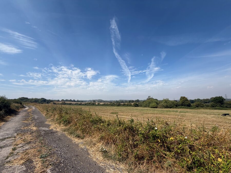
Woodlands is currently open Green Belt land. The proposal would replace much of it with urban development, including buildings up to six storeys — 22 metres — high.
The main issue is not whether landscaping can soften the development, but how much its character, openness and views would change.
Height and density
Although this is an outline application, the applicant’s submitted plans specify development areas, densities and maximum building heights. These parameters matter because they establish the scale that could later be built.
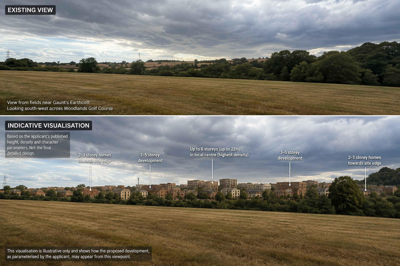
The Density Plan identifies areas ranging from low density up to very high density — up to 150 dwellings per hectare. The Building Heights Plan identifies areas of development up to six storeys — 22 metres high.
What does density mean? Density describes how closely housing and other development are concentrated in an area, usually measured as homes per hectare. Higher density means more homes, or larger buildings, on the same amount of land.
Density Plan
Shows the proposed development density across the site, including areas identified as very high density, high density, medium density and low density.
View Density PlanBuilding Heights Plan
Shows the maximum building-height parameters, including areas of up to six storeys (22 metres), five storeys (18 metres) and three storeys (12 metres).
View Building Heights PlanWhat could it actually look like?
Despite hundreds of pages of technical material, there is no clear visualisation showing residents what development of this scale and style would look like across the golf course and surrounding Green Belt.
The applicant references images of the Brabazon development as design inspiration in the application documents. Resident-prepared AI visualisations can therefore be useful in helping people understand the possible scale of development when considered alongside the submitted height and density parameters.
Impact of the development on the landscape
The applicant’s own Landscape and Visual Impact Assessment (LVIA) predicts significant adverse effects on the rural landscape. Some effects remain “Major Adverse” and “Significant” even after 15 years, when the applicant assumes its proposed planting will have matured.
The public footpath through the fields between Woodlands Golf Course and the Gaunt’s Earthcott/Hortham Lane area is also predicted to experience significant adverse effects.
This matters because these findings come from the applicant’s own assessment. Even after 15 years of proposed landscaping, significant harm to the landscape remains.
The Council needs to decide whether that level of permanent landscape change is acceptable and consistent with planning policies requiring development to respect landscape character and setting. It must also consider what residents will see throughout the year, including winter when tree screening is minimal and development may be more visible across the landscape.
Relevant planning policy
National Planning Policy Framework — August 2026 — GB6–GB8 and N2
The Green Belt policies address development, openness and Green Belt harm. N2 requires
development to consider landscape character and the natural beauty of the countryside and to
conserve environmental qualities where possible.
South Gloucestershire Core Strategy — CS9
Requires development to conserve and enhance landscape character, quality, distinctiveness and amenity.
South Gloucestershire Policies, Sites and Places Plan — PSP2 and PSP7
PSP2 addresses landscape character, tranquillity, visual effects and important landscape features.
PSP7 addresses development in the Green Belt.
Questions for the Council
- In accordance with NPPF Green Belt policy, Core Strategy CS9 and PSP2, is development of this height, density and scale compatible with protecting the openness, character and tranquillity of this Green Belt landscape?
- How can the Council conclude that the landscape is conserved and enhanced, as required by CS9 and PSP2, when the applicant’s own LVIA identifies effects that remain “Major Adverse” and “Significant” even after 15 years?
- Has the applicant provided sufficient visual evidence for the Council and residents to understand the landscape and visual effects before the principle, scale, height and density parameters of the development are approved?