Flooding, Drainage & Water
Can the site be safely drained without increasing risk elsewhere?
The Woodlands site includes watercourses and drainage features such as Hortham Brook. Parts of the site and nearby roads, particularly around Trench Lane and Hortham Lane, already experience flooding.
What is proposed?
The development proposes Sustainable Drainage Systems (SuDS) using attenuation basins, ponds, swales and other infrastructure to control surface-water runoff before it enters existing watercourses. Because this is an outline application, important elements of the final drainage design remain for later stages.
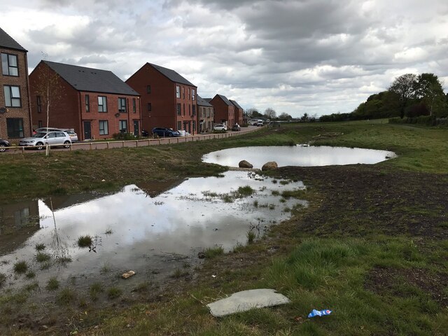
Downstream and cumulative impacts
Water does not stop at the site boundary. The Council must consider prolonged or intense rainfall, Hortham Brook, the wider catchment, downstream infrastructure including the M5, climate change and what happens if drainage systems are overwhelmed or fail.
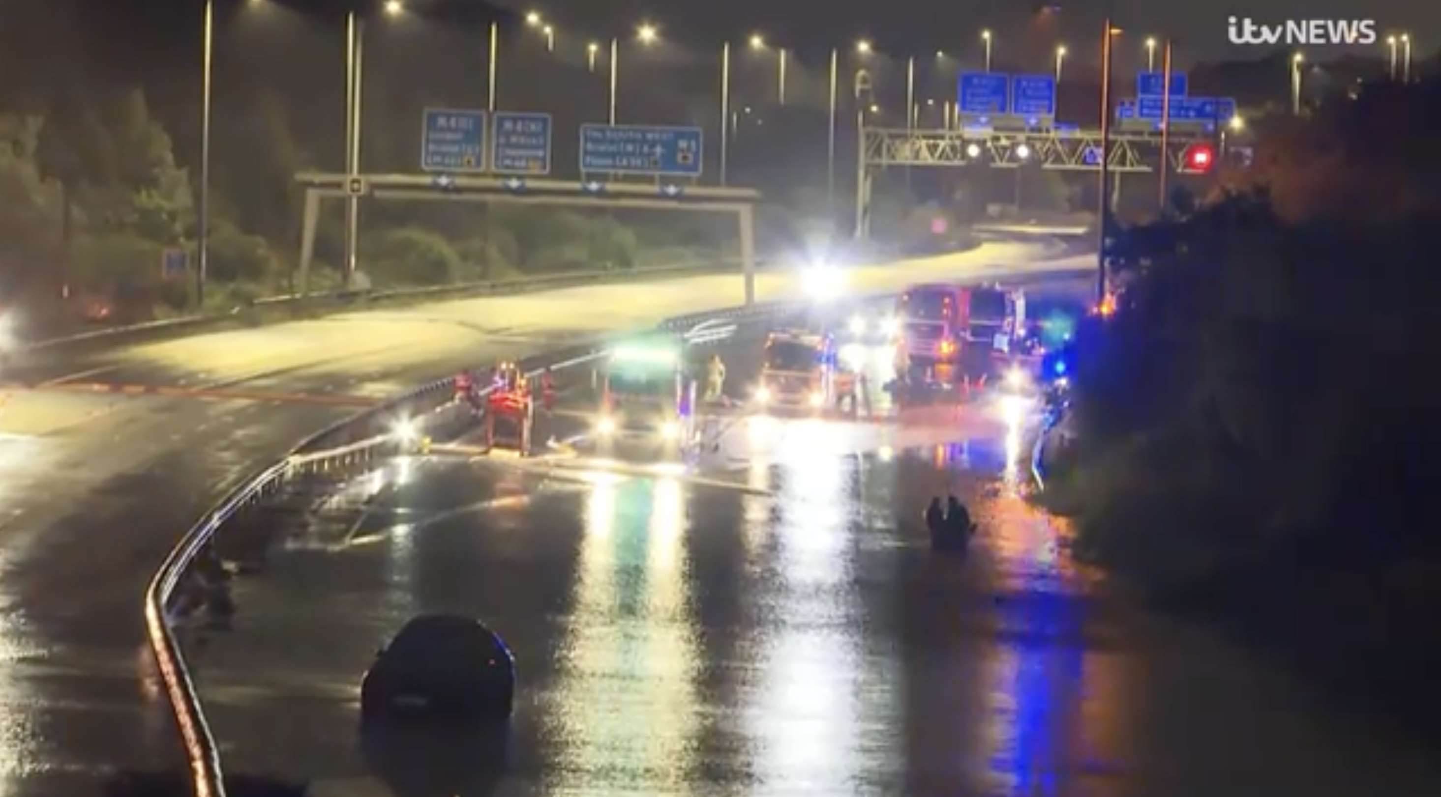
Flooding and contamination
The drainage design must also work with historic landfill and contaminated ground. Construction and changes in water movement can create pathways to groundwater or surface water, so drainage and remediation need to be considered together.
Infrastructure and timing
For a development lasting 15–20 years, drainage must work through every phase. The Council needs to know what must be operational before homes are occupied, who maintains it and how long-term performance will be secured.
Relevant planning policy
NPPF — F4–F8: flood-risk assessment, Sequential Test, safe development, SuDS and watercourses.
Core Strategy — CS9: flood risk, SuDS, water quality and the water environment.
PSP20: surface-water runoff, SuDS and avoiding increased flood risk elsewhere.
Questions for the Council
- Can up to 1,900 homes be built without increasing flood risk on Hortham Lane, Trench Lane, Hortham Brook or downstream?
- Are hydraulic impacts fully assessed now or left for later design?
- How will drainage interact with historic landfill and contaminated ground?
- What drainage infrastructure must operate before occupation and how is that secured?
- Who maintains and funds SuDS long-term?
- Have cumulative effects with other development in the catchment been assessed?